Vancouver Island in British Columbia, Canada, is located on the eastern edge of the Pacific Ocean, offshore from the city of Vancouver on the BC mainland. Victoria, the capital of British Columbia, is located on the southern tip of Vancouver Island. Victoria claims the mildest climate in Canada because the Pacific Ocean in this region maintains a constant temperature of 50 degrees F. Prevailing westerly ocean winds provide a buffer to warmer summer and cooler winter temperatures.
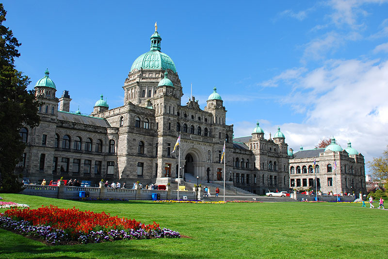
Legislative Building of the Government of British Columbia in Victoria
- Facts & Information
- History & Heritage
- Photo Gallery Albums
- Photo Gallery Photostream
- Weather in British Columbia
Vancouver Island is 460 kilometres (290 miles) in length, 80 kilometres (50 miles) in width at the widest point, and 32,134 km2 (12,407 square miles) in area, with a population of approximately 760,000 (2011 census), of which nearly half live in the Greater Victoria region and only 3% live on north Vancouver Island.
The history of Vancouver Island is an interesting amalgamation of First Nations and European culture. It began with Captain Cook’s arrival at Nootka Island in 1778 and, subsequently, as English and Spanish explorers found their way to the lush paradise of the Pacific Northwest. Today, the combination of Aboriginal, Spanish and English heritage is reflected in the place names along the coast.